Detailed Program (Monday 13th November 2023, 13:00-18:00 hours)
Venue: Radisson Blu Hotel Hamburg (Congressplatz 2 D-20355 Hamburg)
[Room: Shanghai]
Best Paper Award:
Title: Wealth Index Estimation using Machine Learning with Environmental, Demographics, Remote Sensing, and Points of Interest Data
Authors: Dustin Reyes, Roger Jr. Antonio, Ardie Orden,Adrienne Heinrich, Randy Phoa, Sara Bilalx, Gerando Bonganay and Maria Singson
(All times in CET)
13:00-13:05
Opening remarks by GeoSocial'23 Workshop Organizers
13:05-14:00
Professor, Spatial Information Science, Department of Infrastructure Engineering, The University of Melbourne, Australia
Title: Geo-Social
Abstract : I will take the liberty and expand the context of geocomputational analysis of socio-economic data, asking for social relevance and for social responsibility of geocomputational analysis. And of course, I will sprinkle this with some examples of my group's work, and thoughts on what I should have done, and hope to excite discussion.
About the Speaker : Stephan Winter is Professor in Spatial Information Science at the Department of Infrastructure Engineering, The University of Melbourne. He is specializing on human spatial cognition and communication, with a vision of developing intelligent spatial machines especially in the context of indoor and outdoor spatial modelling, wayfinding, navigation, and intelligent transport. Increasingly this includes sustainable mobility, and walking as an active mode of mobility.
14:05-14:30
Paper Presentation: 20min, QA: 5min
Title: Measurement of spatial inequality using micro-spatial data in Thailand
Authors: Hiroki Baba. Hitotsubashi University, Japan.
Summary: This study aims to discuss the spatial heterogeneity of accessibility of urban facilities and analyze the differences in socioeconomic characteristics in Thailand using the following indicators: walking and car accessibility, and intra-spatial inequality. The results of this study were that a certain percentage of local residents had difficulty accessing urban facilities, especially public transport hubs, even when using automobiles. Moreover, in some Mueang units, access to public transport hubs is generally poor due to an aging population. Although the elderly and low-income groups need to fulfill their needs within a walking distance, this study demonstrates this is difficult for them. Focusing on spatial inequalities in case of grocery stores, not only Mueang units in rural areas, but also ones in Bangkok metropolitan region experience spatial inequality. Despite technical and data limitations, these findings are essential for mitigating spatial inequality.
14:30-14:55
Paper Presentation: 20min, QA: 5min
Title: Assessing the relationship between socio-demographic characteristics and OpenStreetMap contributor behaviours
Authors: Dominick Sutton, Guy Solomon, Xinyi Yuan, Merve Polat Kayali, Zoe Gardner and Ana Basiri. University of Glasgow, UK.
Summary: Volunteered Geographic Information' (VGI) has particular importance -- in part -- for its democratisation of geographic information.
However, some recent research has suggested that despite being publicly open, several successful VGI platforms have under-representation of particular socio-demographic groups, which may lead to biases in the types of information contributed. This paper examines the relationship between demographic characteristics and user contributions to OpenStreetMap (OSM), one of the most successful examples of a project reliant on VGI.
It demonstrates statistically significant differences in the information provided by users of different genders, ages, and education-levels. Differences between the demographic characteristics of OSM contributors and the underlying population are therefore likely to be reflected in the VGI contained in OSM.
15:00-15:30
Tea Break
15:30-15:55
Paper Presentation: 20min, QA: 5min
Title: Wealth Index Estimation using Machine Learning with Environmental, Demographics, Remote Sensing, and Points of Interest Data
Authors: Dustin Reyes*, Roger Jr. Antonio*, Ardie Orden*,Adrienne Heinrich*, Randy Phoa#, Sara Bilalx, Gerando Bonganay+ and Maria Singson#. Aboitiz Data Innovation, Philippines*, IBM, Singapore#, IBM New Zealandx, IBM Philippines+.
Summary: The UN aims for poverty alleviation, especially in developing countries, but traditional wealth-measuring surveys are costly and infrequent. This study used machine learning with tabular data to estimate wealth in the Philippines, achieving better accuracy than previous deep learning models with satellite imagery. Enhanced with environmental and demographic data, their model excelled particularly in urban areas. The research suggests that automatically collected environmental data can replace manual data collection, with future studies recommended to focus on urban-rural differences and incorporating deep learning where data is limited.
15:55-16:20
Paper Presentation: 20min, QA: 5min
Title: Spatial Optimization Site Selection of Beijing Cainiao Station Based on Multi-Source Geospatial Data
Authors: Shaohua Wang*, Zezhi Zhang#, Cheng Su*, Liang Zhou#, Haojian Liang+ and Wenda Wang#. International Research Center of Big Data for Sustainable Development Goals, China*, Lanzhou jiaotong university, China#, Jilin university, China+.
Summary: The study examines the optimal locations for express delivery self-pickup points in Beijing using various datasets including Point Of Interest (POI) and population distribution. It found that the distribution of Cainiao Stations in Beijing is influenced by land prices, administrative zones, and population density, with most stations concentrated in densely populated areas and fewer in peripheral districts with fewer residents. The research also revealed that the proximity of residential areas, vegetable stores, universities, and office buildings significantly affects the location of these stations.
16:20-16:45
Paper Presentation: 20min, QA: 5min
Title: A hybrid model for Forecasting Biological Oxygen Demand using CEEMDAN-LSTM
Authors: Neha Pant, Durga Toshniwal and Bhola Gurjar. Indian Institute of Technology Roorkee, India.
Summary:Reliable and accurate forecasting of water quality parameters is essential for water quality management. Existing methods often rely on external factors and multiple water quality parameters. In this study, we demonstrate the applicability of a hybrid approach incorporating Complete Ensemble Empirical Mode Decomposition with Adaptive Noise (CEEMDAN) and Long Short-Term Memory for forecasting Biological Oxygen Demand(BOD). The approach is minimalistic that solely utilizes historical data. The CEEMDAN decomposition is applied to the original time series data to generate a set of Intrinsic Mode Functions(IMFs) with varied frequencies and a residual, thus capturing the non-linear and non-stationary characteristics of the data. LSTM is then employed to forecast the IMFs and residuals produced by CEEMDAN. Finally, all the forecasted IMFs and residuals are aggregated to generate the final forecast. To conduct a thorough and rigorous analysis, the CEEMDAN-LSTM model is used to forecast BOD levels at three monitoring stations flowing along the river Ganga in Kanpur district of the state of Uttar Pradesh, India, considering one, two, and three-hour forecasting horizons. Experimental results demonstrate that using CEEMDAN combined with LSTM can effectively detect the complex non-linear patterns in the time series data, leading to more accurate outcomes than the alternative techniques.
16:45-17:10
Paper Presentation: 20min, QA: 5min
Title: Exploring the Relationship between Greenery in Patients’ Living Spaces and Cognitive health
Authors: Yoohyung Joo*, Sangyoon Park*, Jaeyoung Jung*, Jiwan Hong*, Juyeon Ko#, Jaelim Cho#, Changsoo Kim# and Joon Heo*. Yonsei University, South Korea*, and Yonsei University College of Medicine, South Korea#.
Summary: The study explored the link between greenery and dementia risk, considering both overall greenery and open greenery within 500 meters of patients' homes using street view imagery and traditional satellite images. While increased greenery generally correlated with a reduced dementia risk, higher levels of open greenery and satellite-derived EVI indicated an elevated risk. This association fluctuated based on geographic locations: in rural areas, there was a consistent relationship between greenery and reduced dementia risk, but in urban areas, notably Seoul, the findings were more variable, with only specific regions showing reduced dementia risks linked to higher greenery levels.
17:10-17:20
Closing Remarks by GeoSocial'23 Workshop Organizers
Workshop Organizers

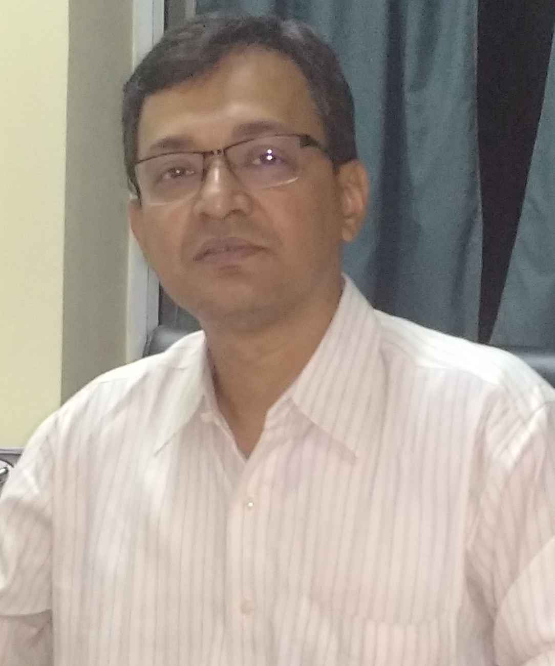
Soumya K. Ghosh
Professor, Department of Computer Science and Engineering, Indian Institute of Technology Kharagpur, India

Shreya Ghosh
Postdoctoral Scholar
The Pennsylvania State University, USA

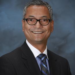
Budhendra Bhaduri
Director, Geospatial Science and Human Security Division, Oak Ridge National Laboratory

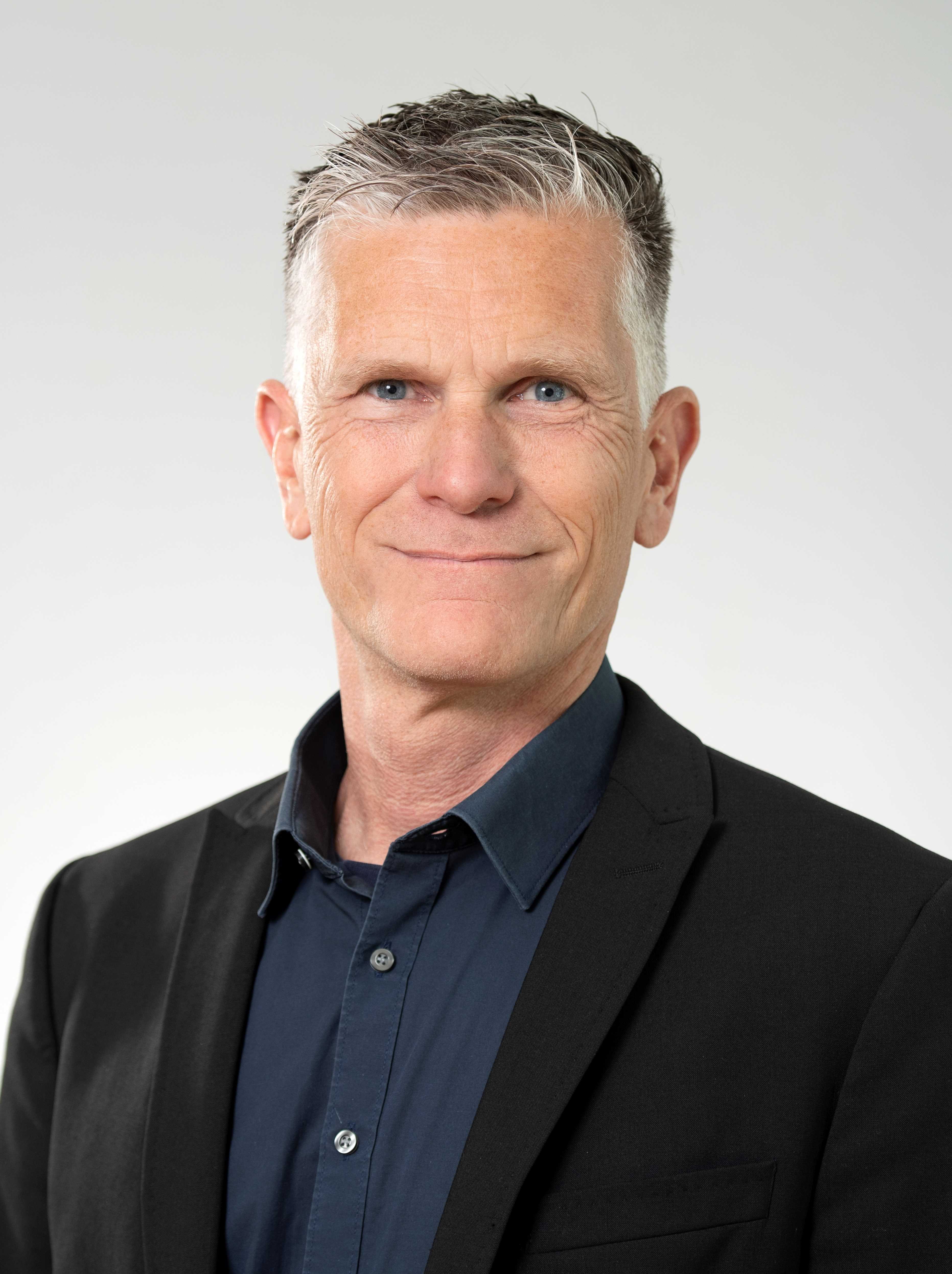
Alexander Zipf
Professor, Heidelberg University, Chair of GIScience, HeiGIT Heidelberg Institute for Geoinformation Technology
PROGRAM COMMITTEE
- Wenwen Li, Arizona State University, USA
- Rene Westerholt, TU Dortmund University, Dortmund, Germany
- Paul Longley, University College London, London, UK
- Pabitra Mitra, Indian Institute of Technology Kharagpur, India
- Anupam Khan, Indian Institute of Technology Kharagpur, India
- Edwin Sabuhoro, Pennsylvania State University, USA
- Sayak Roychowdhury, Indian Institute of Technology Kharagpur, India
- Rajan K.S., International Institute of Information Technology, Hyderabad, India
- Jamal Jokar Arsanjani, Alborg University, Denmark
- Bharath H Aithal, Indian Institute of Technology Kharagpur,
India
- Sven Lautenbach, Heidelberg University, Germany
- Stefano De Sabbata, The University of Leicester, Leicester, UK
- Jaydeep Das, Kalinga Institute of Industrial Technology (KIIT), Bhubaneswar, India


